Build the Map
Use the Map
Navigate Faster & Understand the World Better
Map Data Products Trusted by Leading Companies

Map Image API: Access High-Quality Street-Level Imagery
The Map Image API connects your business to fresh, high-quality, standardized street-level imagery collected by Hivemapper’s global mapping network.

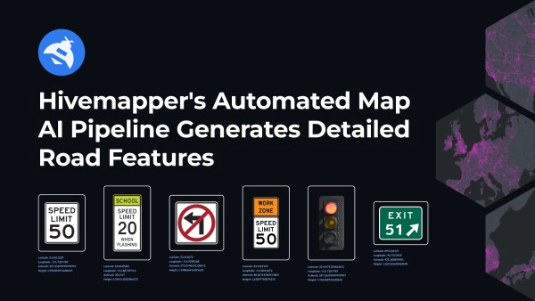
Map Features API: Access Geolocated Traffic Infrastructure
The Map Features API provides precisely positioned map features, including speed signs, turn restrictions, stop signs, highway exits, and traffic lights.

Scout: Advanced Location Monitoring
Scout is a powerful location-monitoring tool offering fresh, high-quality imagery and customizable UI options for diverse applications.

Bursts: On-Demand, Targeted Map Data
Hivemapper Bursts provide on-demand, targeted map data collection. Our global mapping network will quickly and cost-effectively collect the data you need.
How It Works
The Hivemapper Map AI Pipeline
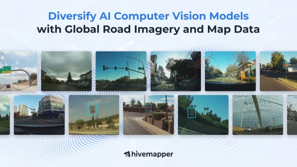
We combine purpose-built hardware, a global community of contributors, and AI to collect fresh map data around the world for navigation, automotive, logistics, insurance, and government.


Our Commitment
Privacy by Design
Unlike our predecessors, we're not building a global surveillance system, so we built privacy into our map-building process from day one.